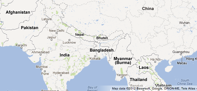
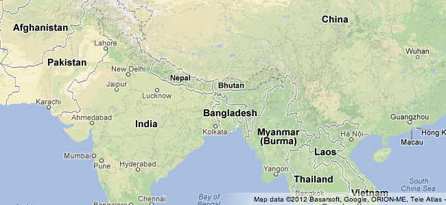
Το νέο look έχει “visual improvements” και η application επιτρέπει σε users να βλέπουν το έδαφος και τις εναλλαγές χρώματος όπως και τη βλάστηση.

“This enriched visual data allows you to quickly and easily see where the great forests, deserts and mountain ranges around the world begin and end,” λέει ο Maps software engineer κος Karl Johann Schmidt σε blog post. “It also conveys how natural land formations can impact where, how and why man-made developments like urban cities, dams and bridges are made.”

Γι α να δούμε…